Türli
Route details
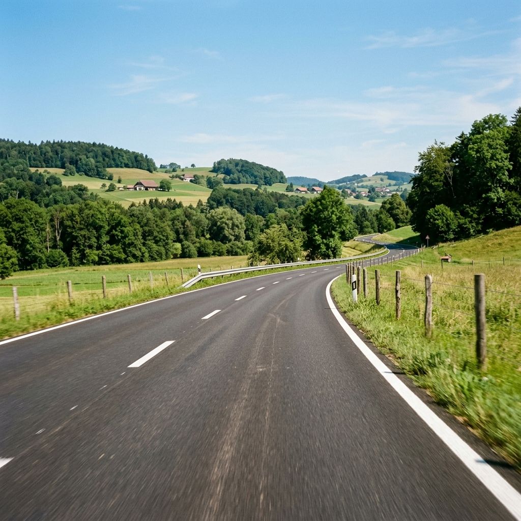
The Türli connects the municipalities of Oetwil am See and Männedorf over a gentle Pass summit at around 615 meters for just under 2.6 kilometers. The well-maintained Main road, which is asphalted throughout, has two …
The Türli connects the municipalities of Oetwil am See and Männedorf over a gentle Pass summit at around 615 meters for just under 2.6 kilometers. The well-maintained Main road, which is asphalted throughout, has two lanes and is sufficiently wide, mostly with clear center markings, which makes for a safe, smooth ride. With a maximum gradient of 9 percent, the ascent remains moderate; the Curves mostly come with pleasant, flowing radii without any real Hairpin bends, only a little tighter towards the crest. The route is very manageable for beginners and ideal for practicing clean lines, while experienced riders will appreciate the steady rhythm and grippy surface for an entertaining and enjoyable ride.
As the main regional link between the Zurich Oberland and the right bank of Lake Zurich, the Türli is particularly important for local traffic. Accordingly, the volume of traffic can be increased at commuter times, while it usually remains moderate outside peak times; some excursion and leisure traffic can be expected at weekends. Supra-regional through traffic hardly plays a role here, but anticipatory driving is recommended due to the possibility of slow vehicles and occasional crossings along the short but important axis.
Motorcycle tours for this pass
Distance
Select the distance of your ideal tour.
Hyper-personalized tours for you and your style.
Create your own epic tours with our intuitive route planner. Select motorcycle, enter start, destination and waypoints and have your route calculated.


)