Gran Canaria's volcanic mountains
Route details
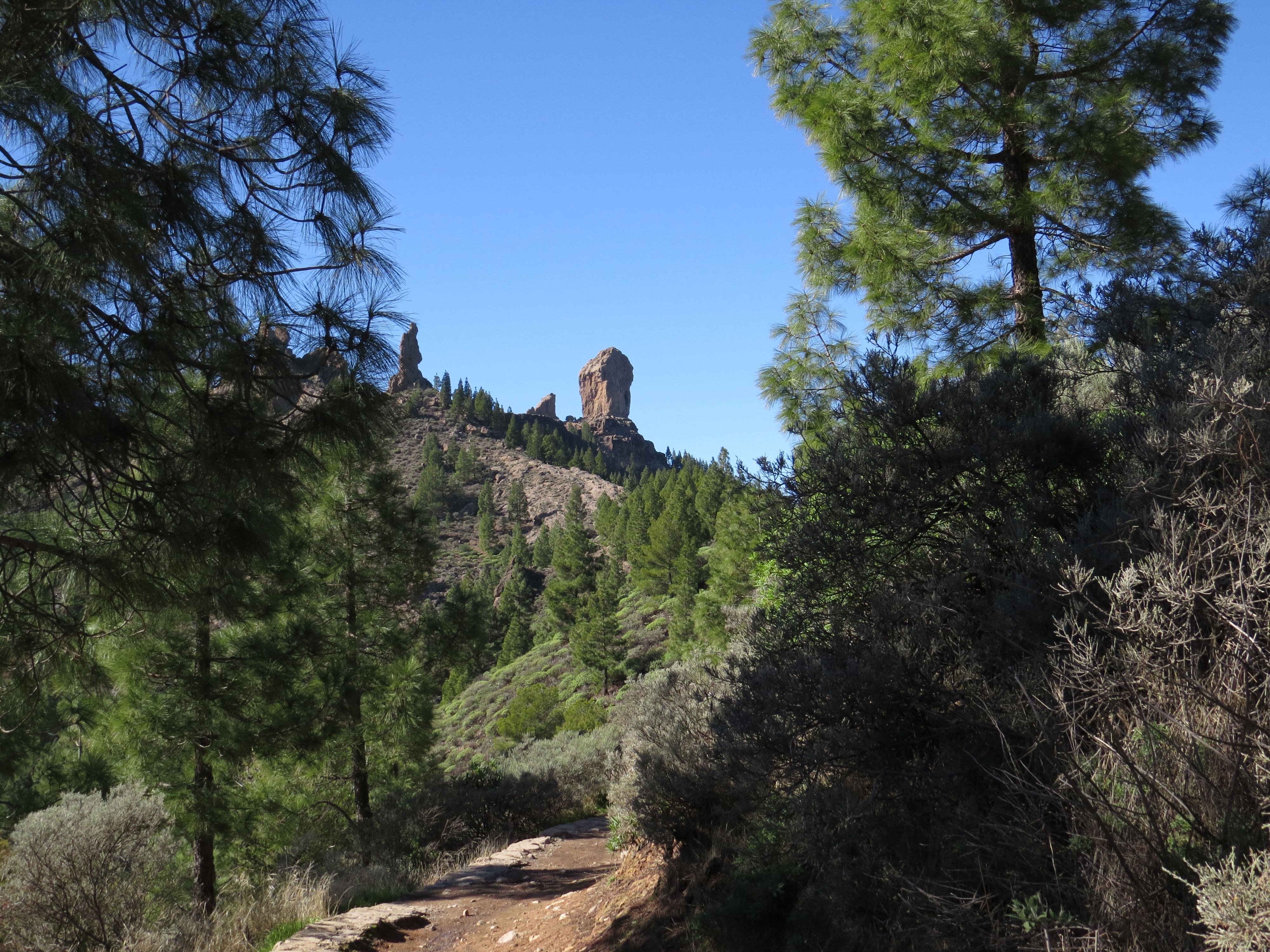
A 132 km Round trip through the central mountains of Gran Canaria with Artenara and Tejeda. The route leads through the volcanic caldera with views of the Roque Nublo.
This round trip on Gran Canaria starts in Las Palmas and initially leads northwest via Arucas and Moya into the central mountains of the island. The route steadily gains altitude and reaches Artenara, the highest village in Gran Canaria at 1,270 meters above sea level.
The road is characterized by numerous Curves and Switchbacks that wind through the volcanic landscape. The Mountain roads are mostly narrow, some without crash barriers, and require concentrated driving. The asphalt is mostly in good condition, although there are a few older sections with patches. Oncoming traffic can be a challenge on the narrower sections, as it is often only possible to get out of the way in a few places.
From Artenara, the Mirador de Unamuno offers a 360-degree view over the Caldera de Tejeda. The Spanish philosopher Miguel de Unamuno described this landscape in 1910 as a "petrified storm" - a characterization that becomes clear as you drive through it. The striking rock formations Roque Nublo and Roque Bentayga dominate the panorama. On a clear day, the Teide on Tenerife is visible.
The onward journey to Tejeda, one of Spain's most beautiful villages, leads through pine forests and past steep barrancos. Tejeda is famous for its almond production and the sweets made from them. The local Dulcería Nublo is an institution for traditional Canarian almond pastries.
From Tejeda, the route leads via Valsequillo back towards the east coast and Telde. This section is less winding, but still offers views of the mountains. Temperatures can vary by 10-15 degrees between the coast and the mountain region; a light jacket is recommended.
Moderate traffic is to be expected on weekdays. At weekends and on public holidays, the mountain villages are popular excursion destinations for locals, which can lead to higher traffic volumes. The Tour is suitable for riders with experience on winding Mountain roads. Beginners should allow sufficient time and approach the route defensively. The entire distance of 132 km can be covered at a leisurely pace with stops in around 4-5 hours.
Start
Estación de Servicio Moeve Sical
Waypoint
Puente de Arucas
Waypoint
Calle Practicante A. Henríquez
Waypoint
Barranco del Lavadero
Waypoint
Lugar Diseminado El Maipez
Waypoint
Los Llanetes
Waypoint
Carretera Telde - Valsequillo
Destination
V.V.V. García Machín
Hyper-personalized tours for you and your style.
Create your own epic tours with our intuitive route planner. Select motorcycle, enter start, destination and waypoints and have your route calculated.


)