From the Argentario to Lake Bolsena to Chiusi
Route details
Route from the coast of Monte Argentario via the hinterland to Lake Bolsena and on to Chiusi in southern Tuscany. The route crosses the border region between Tuscany and Lazio with volcanic landscapes and Etruscan history.
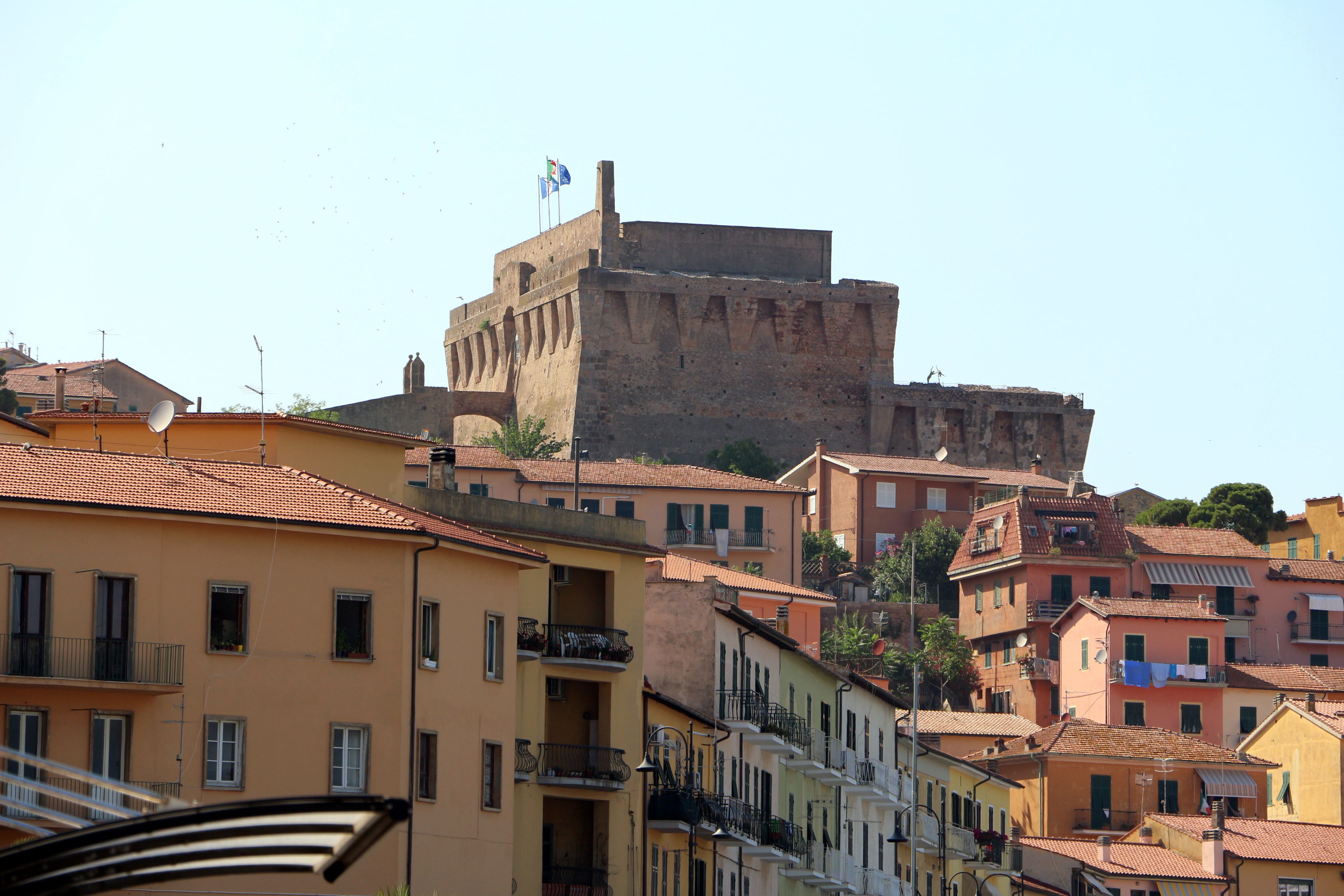
This 185-kilometre route starts in Porto Santo Stefano on the Monte Argentario peninsula and leads from the Tyrrhenian Sea into the central Italian hinterland. The starting point is on the north-western coast of the peninsula, which is connected to the mainland by three narrow headlands.
The first Stage leads inland from the coast in an easterly direction. After leaving the Argentario, the Route crosses the Maremma hinterland. The roads here are mostly well paved, sometimes narrow and with little traffic. The terrain is hilly with moderate gradients.
Via Marta you reach Lago di Bolsena, a volcanic lake with a circumference of around 43 kilometers. The lake lies at an altitude of 305 meters and is surrounded by the Volsin mountains. The roads on the western shore offer views of the water and the two islands of Isola Bisentina and Isola Martana.
The Waypoint Pietre Lanciate near Bolsena marks the north-eastern part of the lake. From here, the Route continues north into Tuscany. The terrain remains hilly and the roads alternate between wider Country roads and narrower connecting paths. The surface is generally good, with occasional older sections.
The destination of Chiusi lies on a 350-metre-high tufa plateau at the southern end of the Chiana Valley. The Etruscan foundation was once part of the powerful League of Twelve Cities. Today, the town is home to the Museo Nazionale Etrusco with an extensive collection of archaeological finds.
The route runs mostly on secondary roads and Country roads away from the main traffic routes. Typical challenges include narrow through-town sections, occasional Hairpin bends and sometimes confusing junctions. Traffic is light outside the summer season. Petrol stations can be found in the larger towns.
The Route is suitable for day trips or as part of a multi-day Tourer through southern Tuscany and northern Lazio. The Elevation profile is moderate with the lowest point at the sea and the highest point at around 400 meters.
Start
Eni
Waypoint
Strada delle Madonne
Waypoint
Pietre Lanciate
Destination
Via Oslavia
Hyper-personalized tours for you and your style.
Create your own epic tours with our intuitive route planner. Select motorcycle, enter start, destination and waypoints and have your route calculated.


)