Auvergne Volcano Tour: Clermont-Ferrand - Cantal
Route details
Round trip through the volcanic country of the Auvergne, crossing the departments of Puy-de-Dôme, Corrèze and Cantal. The route leads along winding départementales through largely untouched landscapes of the Massif Central.
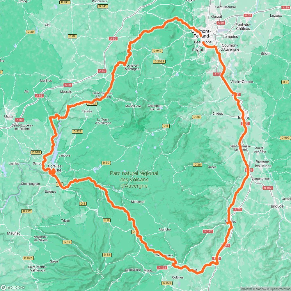
This 296-kilometre round trip starts in Clermont-Ferrand and first heads southwest through the Puy-de-Dôme into the Corrèze. The first section to Sarroux-Saint-Julien is mainly on winding Départementales roads through hilly countryside with mixed forests and pastureland.
Sarroux-Saint-Julien lies on the border between Corrèze and Cantal, not far from the Bort-les-Orgues reservoir. From here, it is worth taking a Detour to the famous Orgues de Bort, a two-kilometre-long basalt formation with columns 80 to 100 meters high. These volcanic rock formations were created around 15 million years ago by cooling lava flows. The Viewpoint at 789 meters offers a panoramic view of the entire Massif Central.
The onward journey towards Neussargues-Moissac leads deeper into the Cantal. This département is one of the least populated in France, which is reflected in little traffic and undisturbed driving. The roads are mostly well asphalted, but there may be patches or slight cracks in places. Long curves with good visibility are typical, interrupted by narrower passages in forest sections.
Neussargues-Moissac was historically an important railroad junction in the Cantal and is located in the Parc Naturel Régional des Volcans d'Auvergne. From here, the Route runs via Massiac, which is considered the gateway to the Cantal. The small town is located at an altitude of around 540 meters in the Alagnon gorge and offers all the necessary amenities.
The last section leads back to Beaumont near Clermont-Ferrand via Route Nationale 122 and other side roads. The Route is at altitudes of between 400 and around 900 meters and does not include any real Pass roads. Nevertheless, the numerous combinations of bends and the constant alternation between open plateaus and wooded valleys make for a varied ride.
The region is well developed for motorcyclists. Petrol stations can be found at regular intervals, but there can be 40 to 50 kilometers between the smaller towns without any supplies. The best time to travel is between May and September. Temperatures can still be cool in the high altitudes in early summer, so sturdy shoes and rain protection are essential.
Start
ciao agip
Waypoint
Le Longeard
Waypoint
Chemin du Stade
Waypoint
Avenue de Courcelles
Destination
Avenue de l'Europe
Hyper-personalized tours for you and your style.
Create your own epic tours with our intuitive route planner. Select motorcycle, enter start, destination and waypoints and have your route calculated.


)